 Most people don’t realize there’s a bike path that runs from the Halawa landing near the USS Arizona Memorial Visitor’s Center and ends in Waipahu.
But it’s there. And it’s definitely a hidden gem in Central Oahu.
I first heard about it when I was a reporter covering the area. The Friends of the Pearl Harbor Historic Trail had envisioned a multi-use shoreline path that would run 18.6 miles from Halawa Landing to Nanakuli. The goal was to reinvigorate the community, upgrade the existing path, improve the environment, and create economic opportunities for area businesses. Maybe the old railway could reopen and take visitors along the coastline, stopping at various shops and eateries in the area.
It was a great goal — but expensive and not a high-priority project for the state. I’m not sure what’s happened to the plan.
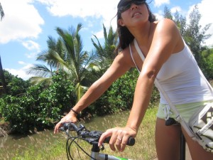
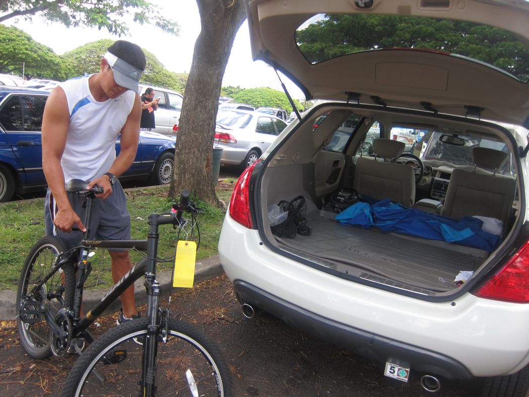
So we decided to bike down the path over the weekend, just to see what it was like. And honestly, we were pleasantly surprised.
Here’s what our bike ride looked like:


26 Comments
Awesome! I want to try that path out one day. Thanks for the review!
I highly recommend it. It’s not your usual sights of Oahu!
This is really great, I had no idea it existed! I’m definitely checking it out next weekend. It reminds me of the bike paths in Seattle – the last one I rode led me straight to a winery and brewery!
Just like in Chicago, these bike paths along the lake… This, of course, isn’t as cold. 🙂 And unfortunately no wineries or breweries at the end… Just a waste transfer station.
what a great ride. i want to try it. sure beats riding on King and Beretania
I love biking — but I’m terrified of biking in traffic here. Hawaii drivers… what can I say…!
A small part of #H50 was filmed on the bike path in Waipahu 🙂
I didn’t know that! Which episode???
Great photos. How many miles is the trail right now?
Not sure. I know from Blaisdell Park to the end in Waipahu, it’s about 4.5 miles. So maybe twice that length. There must be a way to GPS it…
The other end of the trail is at the gate onto Pearl Harbor, just before the stadium as you head in the Diamond Head direction. The gate used to be open during the day to allow you to get all the way to the Arizona Memorial, but that ended at 9/11.
I did this trail twice. Once on a razor scooter and once on rollerblades (that’s how long ago it was!). Both times, we went about an hour out towards Waipahu before turning around. Super fun, but the trip back was pretty quiet. We were so tired! And sunburnt! 🙂
Rollerblades! Mine got stolen from my car!
It was fun, but there are some sketchy parts, I’m not going to lie. I wouldn’t trek here at night!
It’s been cleaned up a lot–there used to be some crack houses behind Lex Brodie’s.
But there are still no lights, so some parts of it are pretty dark on nights without moonlight.
Great blog. Maybe the trail will get the much needed attention it deserves. I’m sure you’ll agree the trail has much potential. Upgrading and extending it would have been a great stimulus project.
SO MUCH POTENTIAL! But I’m wondering where the plan stands right now. I think I’ll put my reporter hat back on and do some investigating!
I used to ride that path all the time. Maybe it’s time to ride it again. I sometimes went the Halawa direction because when there’s tradewinds, it’s a lot easier riding back with the tailwind vs. fighting the headwind when riding back from Waipahu.
Wow, I’m pleasantly surprised!
I used to bike a lot in my home country but never thought it would be doable here without actually risking my life when I came here. I did read about this trail before, but I read so much negativity around it that I basically gave up on the whole idea.
Seeing this makes me actually want to go out, buy a bicycle and start biking again.
Nice! Those are some forearms you got there.
Very nice, beats ridng along side of cars and traffic.
If any of you decide to use this bike route, please make sure to show your courtesy to other users and follow the rules of the road. The vast majority of the route users follow these simple rules:
-Stay on the right except to pass. Over most of its length, there’s a yellow line down the center of the path. Stay to the right of that line. Don’t travel side by side if you can’t stay on the right side.
-Don’t stop or loiter in the middle of the path, where you might be in someone else’s way. If you want to stop, go onto the side of the path.
-No motorized vehicles are allowed on the path. This includes motorcycles and mopeds.
-Remember, it’s a bike route. Expect to encounter bicyclists; don’t be surprised if one passes you, especially if you’re moving relatively slowly. It’s not unusual to encounter cyclists going around 20mph, which can be done safely when users follow the rules of the road.
-Move predictably; don’t suddenly stop or turn (especially, don’t suddenly turn left).
-When passing, give those you pass as wide a berth as possible. An audible warning (e.g., clicking brakes, calling out) may help, although people being passed react unpredictably to warnings (suddenly stopping or turning into the path of the passer).
Cool trail. I just checked Google Maps and it is actually labeled on there. If you look at the satellite image with labels, you’ll see the Pearl Harbor Bike Path.
We have a trail like this not far from where I live. It’s a former rail line, that they converted from “rails to trails,” paving it over with asphalt, and turning it into a multi-use trail. I just wish folks would adhere to some sort of “rules of the road.” It’s not surprising to have folks riding or walking side by side and blocking the whole trail. There’s also dog walkers with really long retractable leashes, which makes dealing with them unpredictable and dangerous. Then there are the equestrians…while I’ve not encountered any on the trail, I’ve encountered their remnants. If folks have a problem with dog owners not picking up after their dogs, imagine what a horse leaves behind. 😆
Chccklist for the perfect ride on a sunny day: bikes, check; guy, check; sunglasses, check; new jewelry, check. Thank you for sharing your adventure.
Nice happy shot
Part of my regular morning walk takes me east from the 11-mile marker to Blaisdell Park, just a little over a mile away. In the early morning light, the many springs in the area which feed the watercress and taro leave you refreshed. One imagines how scenic Pearl City and environs used to be before the base was built. Waimalu, Waiau, Waipio, Waikele, Waipahu: all the “wai’s” refer to the abundance of these springs. Once upon a time, enterprising farmers also used this water to grow rice as well. (The watercress farm in the picture is not Sumida Farm, which is across Kam Hwy further east.)
My dad used to take my brother and I biking on this trail alot as kids. Then, a few years later, my cross country coach at Aiea would have us run it. Sometimes to Blaisdell Park, sometimes to Lehua Elementary (where I went for kindergarten and first grade)