It’s been a couple of years since I’ve been out to the westernmost point of O‘ahu.
So when some friends and I were discussing different trails to tackle this past weekend, I tossed in Ka‘ena Point as a suggestion.
And to my surprise, one hadn’t been there in a decade and the other two had never been there at all.
So it was unanimous, we were going to Ka‘ena Point.
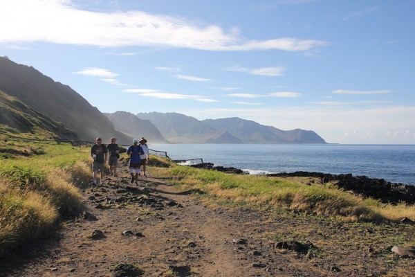
We got to the trailhead on the Wai‘anae start of the hike by 7 a.m. And to be honest, that was a little late. This isn’t the kind of trail that you want to be still on when the sun is high in the sky. It’s dry, it’s brutally hot, and you won’t find any relief from the heat.
If you follow the highway to the end of the road, you will hit the start of the trail. There are places to park, trash cans for rubbish and signs everywhere telling you what you can and cannot do. For example, no dogs. I made a special note of that one.
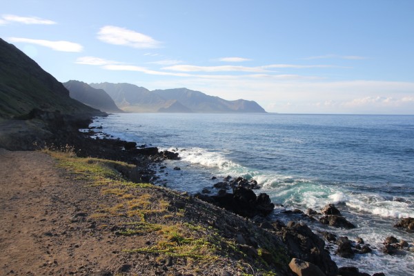
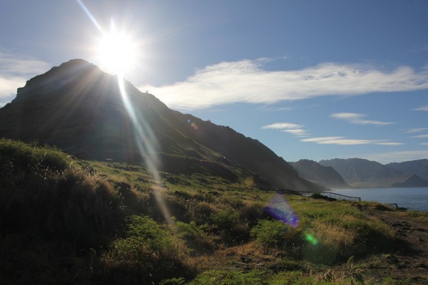
Ka‘ena Point is one of the last intact dune ecosystems in the main Hawaiian Islands. Located on the westernmost point of O‘ahu, at the end of Farrington Highway, this wild and rugged lava shoreline with sweeping views of the vast Pacific Ocean in every direction is nothing short of magical.
You can feel a kind of purposeful spirit here, walking the uneven 5-mile dirt trail from Makua on O‘ahu’s western coastline to Mokulē‘ia on the North Shore. This is the place of Hawaiian lore, where souls of ancient Hawaiians would jump off the point and into the spirit world and meet the souls of their ancestors.
That wasn’t in our plan.
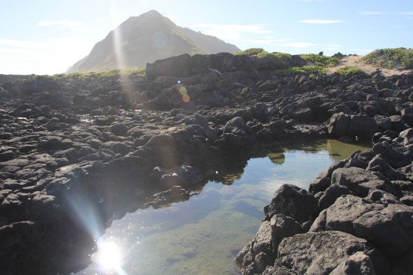
We just wanted to walk the wild coastline dotted with tide pools and sea arches, talk story, and breathe in the beauty of this sacred place.
The trail leads to Ka‘ena Point Natural Area Reserve, a remote and scenic protected area harboring some of the last vestiges of coastal sand dune habitat on the island, and home to native plants and seabirds. Whales frequent this shoreline during the winter months, and sometimes you can see spinner dolphins playing in the waters offshore.
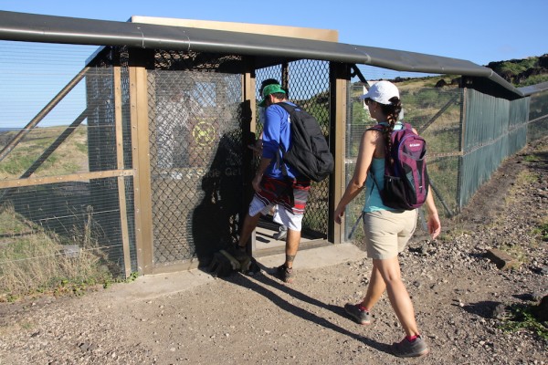
Back in 2011, a 6.5-foot-tall predator-proof fence was installed to keep out invasive species that have been devastating the populations of native and endangered plants and animals. Animals like dogs, cats and mongooses have killed ground-nesting seabirds and rats eat their eggs.
Since this stainless steel, marine-grade fence — a dark brown to blend in with the natural surroundings — went up, wedge-tailed shearwater fledglings increased from 300 in 2010 to more than 1,700 last year. Laysan albatross fledglings went up 25 percent this year. Native plants such as ‘ōhiʻa and sandalwood are now covered in fruit.
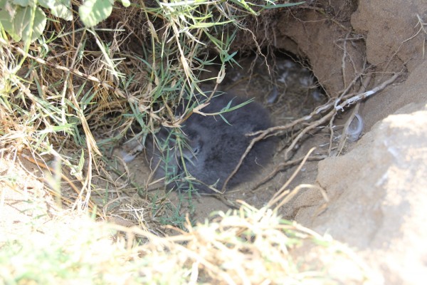
We were lucky enough to see a nesting wedge-tailed shearwater (above).
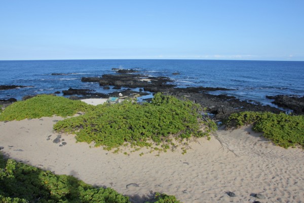
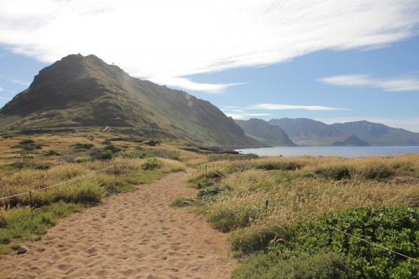
Once you pass through the predator fence, the landscape changes. The volcanic rock coastline softens into sandy dunes lined with naupaka.
To walk around this area is like a visual lesson in Native Hawaiian ecology. The coastline is dotted with native plants such as ‘ilima, naio and hinahina kū kahakai, with 11 species that are federally listed as endangered ʻāwiwi, puʻukaʻa, dwarf naupaka and ʻohia. And the point, a nature reserve closed to motorized vehicles, is home to rare and endangered coastal plants and seabirds. The critically endangered Hawaiian monk seal and green sea turtles are regularly spotted resting along the coastline.
Closer to the shoreline, we found small tide pools, little marine ecosystems bustling with fish like lama (baby goatfish), alaihi (squirrel fish) and sergeant majors.
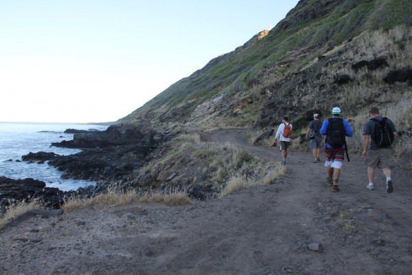
We got to the point in about 90 minutes — and that’s with stopping to shoot photos.
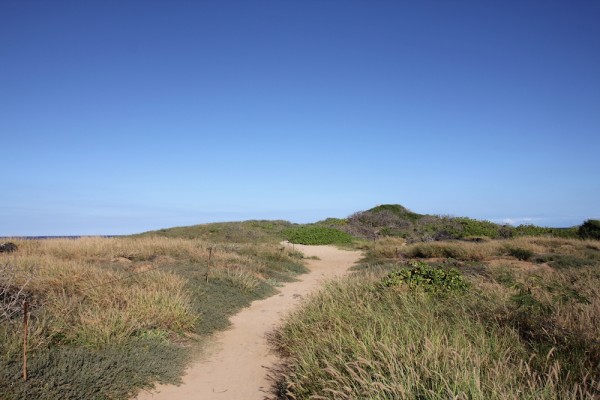
It’s not a challenging hike at all. In fact, it’s a well-traversed trail with hardly any incline save for one spot where the original road washed away. But we didn’t go there for a workout. We went to see the stunning scenery and marvel at the native ecosystem that’s alive and thriving.
And that’s exactly what we got.



5 Comments
Hello Cat,
Back in the days way before the fence went up I use to camp and fish near the point during the summer for a week at a time. Even drove my 4×4 all the way around.
What a beautiful place we call home. Will definitely put this on our to-do list when we’re back home in a few weeks 🙂
Another great blog regarding Hawaii where I could never hike at my age. Thanks Cat!
Years ago before the fence went up we took a rented Jeep out there. What a mistake and we almost met our spirit world that day. Back in the early 1960ies when we lived on Oahu people drove out there all the time. In the intervening years, the sea washed out the road. Thanks for the photo memories.
I see that you hiked along the Yokohama side, which I agree is the prettier route to Ka’ena point. About 20 years ago I hiked the same way but there was one very scary place where the trail was virtually non-existent and it was hard to hang on to some steep rocks to get past that point without tumbling down the cliff. I hope they made the trail more passable since then. By the way, back in the late 1800s early 1900s there was a train that ran all the way from Honolulu past Wai’anae around Ka’ena and all the way to Hale’iwa. It was a big outing for locals and tourists; and I think Lili’uokalani rode that train to visit her Protestant church in Hale’iwa (across from the old Matsumotos) with the very unusual clock she donated — the church still has an active congregation and an annual luau.