We had settled on visiting both North and South islands on our first trip to New Zealand — not entirely advisable since we were there for just nine days — and now we just needed to figure out how.
How were we going to get there and how were we going to get back.
We could always fly. Airfare between Wellington and Christchurch, the largest city on the South Island, is about $150 one way. (At least during the time we were there.)
You can also skydive — yes, skydive — from Wellington, fly across the strait, then jump out of a plane into South Island. (Don’t believe me? Click here.)
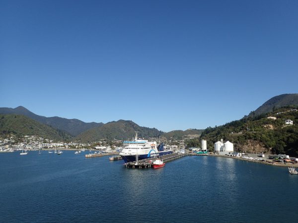
But we wanted something more scenic and less expensive. So we opted for the ferry from Wellington to Picton, a small town located near the head of the Queen Charlotte Sound, making it a major transportation hub.
There are two operators — Interislander and Bluebridge — that run ferries between Wellington and Picton daily. We opted for the first one, mostly because of reviews I had read online.
The cost was reasonable — $65 USD per person one way without a car. (It costs more, starting at around $200, to bring a vehicle.) And though it takes longer — three and a half hours versus one if you fly — the experience of traveling across 58 miles from North to South Island is really unforgettable.
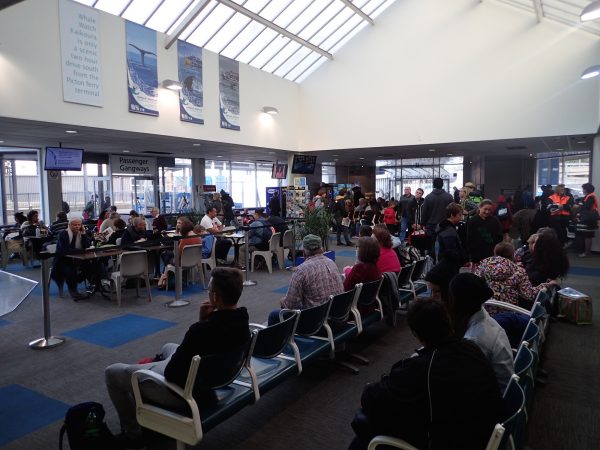
We booked our tickets online — it’s cheaper — drove our Hertz rental car to the ferry terminal at Aotea Quay and left it there. (Hertz doesn’t allow its vehicles across the ferry, so you drop one off in Wellington and pick up another in Picton.) Then we waited in the terminal, where there’s a café and several computers with Internet access. (So Internet café!)
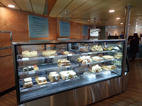
At 9 a.m. we boarded the Kaitaki, the operator’s largest ferry with a capacity of 1,650 passengers and 600 cars. The ferry has 10 decks, four of which are accessible during the ride. Decks 7 and 8 have eateries and cafés and a gift shop. Deck 2 features a play area for kids and a theater. (During our trip, “Revenant” and “The Good Dinosaur” were playing.)
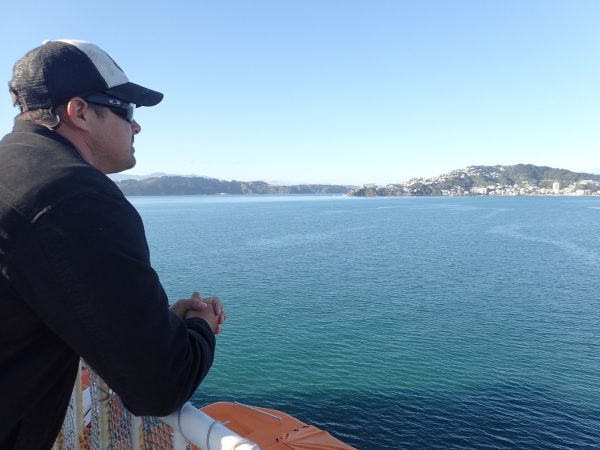
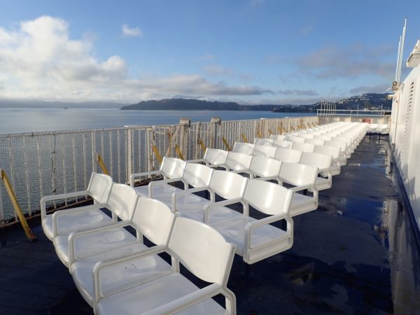
But we spent most of our time on the top sun deck (Deck 10), where we could watch North Island fade away and South Island slowly come into focus.
The Cook Strait lies between the main islands of New Zealand, connecting the Tasman Sea to the Pacific Ocean. It’s 14 miles wide at its narrowest point and considered one of the most dangerous and unpredictable waters in the world.
It’s named after the explorer Capt. James Cook, who sailed through it in 1770. In Māori its name is Raukawa or Raukawa Moana, which may mean, “bitter leaves.”
The first person to swim the strait in modern times was Barrie Devenport in 1962. He completed it in 11 hours, 13 minutes. By 2010, there have been 74 single crossings made by 65 people and three double crossings made by two people.
I’d rather ride a ferry, personally.
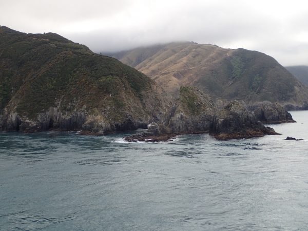
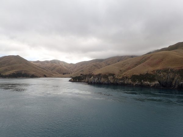
Within a couple of hours, we were sailing along the rugged coastline of the South Island. The west coast of this island runs 19 miles long along Cloudy Bay and past the islands and entrances into the Marlborough Sounds. As we approached the island, we could see a group of tiny islands offshore called The Brothers. They look identical in size and shape, and this small chain is a sanctuary for the rare Brothers Islands tuatara, a reptile endemic to New Zealand. The largest of the two islands is the site of the Brothers Island Lighthouse, built in 1877.
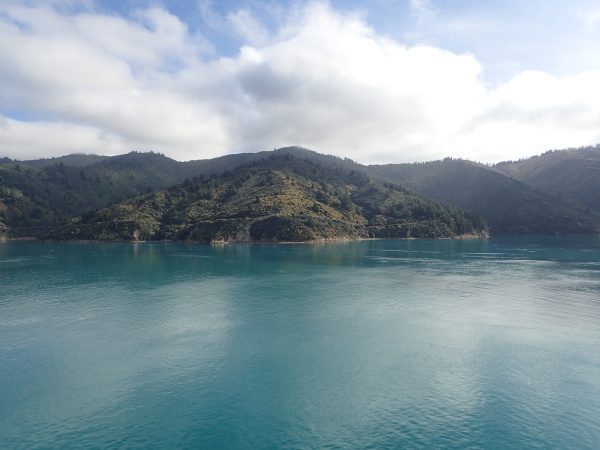
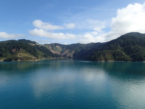
It was cool to see the island this way, to breathe in the sea air and drift past rolling hills, isolated beaches and aquaculture farms. (Salmon or mussels, maybe?)
While we were standing on the sun deck, marveling at the beauty around us, a group of dolphins — bottlenose, common and dusky dolphins frequent the strait — pulled up alongside the ferry.
I mean, seriously? Does it get any better?
By 12:30 p.m., we were pulling into Picton and starting our new adventure on a new island.
And our rental car was at the dock, waiting.
***
Follow my adventures in New Zealand on Instagram (@catherinetoth), Twitter (@thedailydish), Facebook (/thecatdish) and Snapchat (@catherinetoth). #cattravels




No Comments