HIKE: Mokoli‘i (Chinaman’s Hat), Kualoa, O‘ahu
WHEN: March 2015
LENGTH: 1/3 mile (to the island), 15 minutes to the summit
DIFFICULTY: Moderate (only because you have to get there somehow)
FEATURES: 360-degree views, seabirds, light bouldering
Before I even start, I have to post these warnings: you can only walk to Mokoli‘i, or Chinaman’s Hat, at low tide. Once the tide rises, you’ll need a kayak or surfboard or something to get back. (Unless you’re a strong enough swimmer, but I still wouldn’t recommend it.) People have died here, so this is no joke.
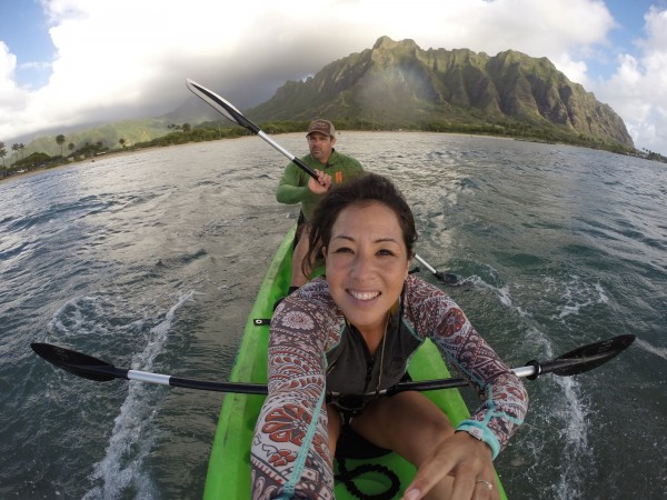
We didn’t even bother with the idea of walking out to Mokoli‘i, located less than half a mile off Kualoa Regional Park (49-479 Kamehameha Highway). We loaded up a two-person kayak and planned to paddle out there no matter what.
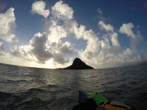
Some background on the island: This iconic offshore islet is more commonly referred to as Chinaman’s Hat because of its shape. But it’s real name — Mokoli‘i — means “little lizard” in Hawaiian. According to Hawaiian mythology, the island is part of a giant lizard’s tail that was chopped off and thrown into the ocean by the goddess Hi‘iaka. (The rest of the lizard’s body can be found at Kualoa Ranch.)
This 12.5-acre island was once home to several species of birds; now only the wedge-tailed shearwater nests here. Most of the vegetation are non-native, though you can find ‘ahu‘awa, naupaka and ‘ilima here.
Most people don’t realize that it’s totally legal to hike to the top of this island. It’s owned and managed by the city and open from dawn to dusk.
We got to Kualoa Regional Park just before it opened at 7 a.m. (You can park alongside the highway and risk leaving your car there. Or you can wait until the park opens and park here, where it’s somewhat safer.) We would have rather shoved off earlier to catch the sunrise and beat the crowd, but the safety of our vehicle (and gear) was a bit more of a priority.
In fact, by the time we jumped into the kayak, we could already see about a dozen people at the summit of the island.
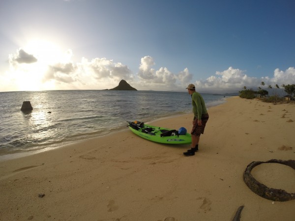
The paddle to the island, located about 1/3-mile from shore, is easy and takes maybe about 20 minutes. The tide was low when we left shore, so our paddles kept hitting the reef. The group who had gotten to the island before us paddled on a variety of surfboards, neatly parked on the small beach where we landed.
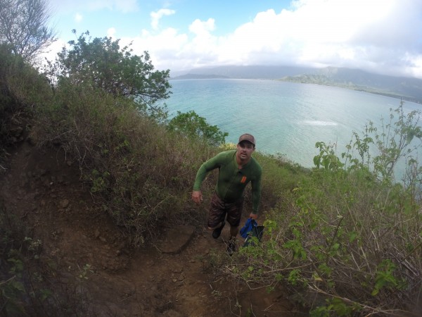
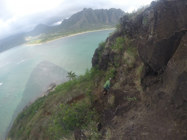
The climb to the top isn’t difficult, though it requires some light bouldering. It takes about 15 to 20 minutes to make it to the summit.
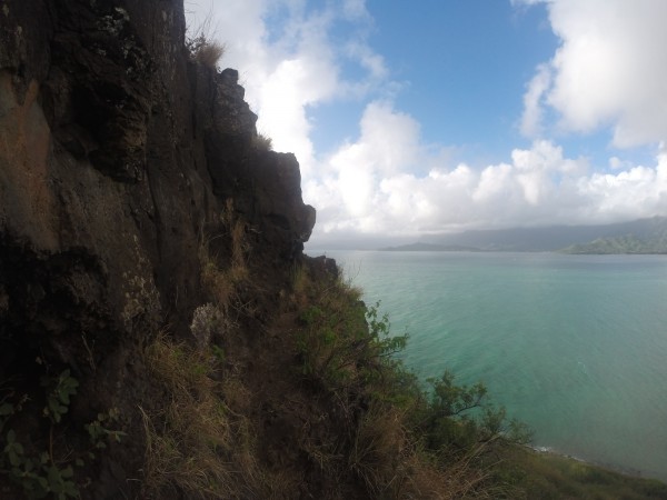
The trail was pretty well-worn, so we didn’t have a problem finding — and following — it, though it’s obvious there are several ways to get to the top. While I know people have climbed it successfully in slippers, I’d recommend shoes or reef walkers, which is what we used.
And the climb isn’t for those with gripping fear of heights, either. There are some sections that can, well, make you pause for a second.
But when you get up there…
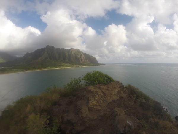
… the views are so worth it.
The summit area is pretty small. I can’t imagine how that group of friends fit up here, to be honest. But we were just happy to have it all to ourselves — a rarity!
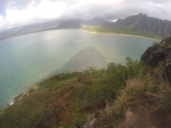
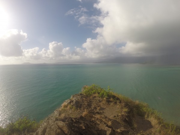
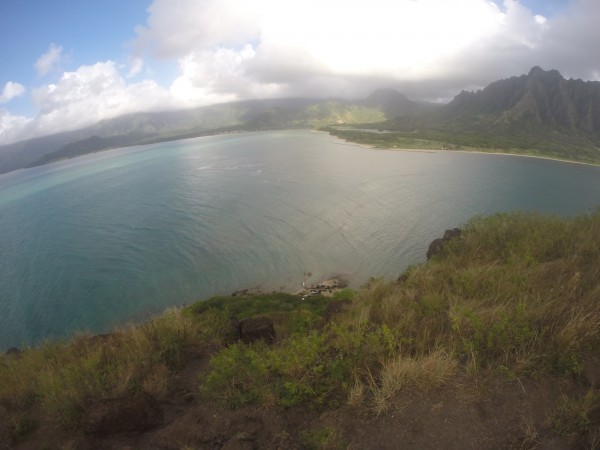
From here, you get 360-degree panoramic views of Kualoa, the Ko‘olau Mountains and Kāneʻohe Bay. It’s simply breathtaking.
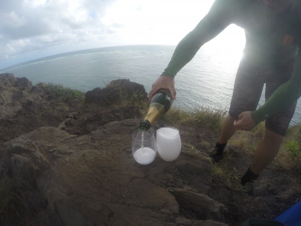
We brought a bottle of champagne — hey, we know how to hike! — and raised our stemless shatterproof wine glasses to a beautiful day — and an uncrowded summit!
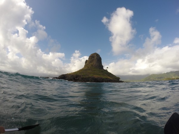
On our back way, we decided to paddle around the island, getting this unique view of the islet. There’s a nice little cove with a tiny, secluded sandy beach on the backside where I know people have barbecued and picnicked. We saw two couples snapping selfies with their GoPros and opted to keep paddling. We had the island to ourselves for that one magical moment. We didn’t want to ruin it.
VERDICT: It was a fun little adventure that combines kayaking and hiking — and we were literally done before 9 a.m. You could spend a lot more time here, picnicking on the beach or fishing off the island. But if you’re looking for a challenging hike that will torch calories, this isn’t it. This is just purely fun.
***
Follow my hiking adventures #40trails at Instagram (@catherinetoth), Twitter (@thedailydish) and Facebook (/thecatdish).



7 Comments
Hello Cat,
Never hiked Chinaman’s Hat but standup padddled a few times around it. Once from Heeia pier and back.
CAT: So this was a champagne hike…hopefully you also packed some crackers and caviar. Like Mr Okada, I like da cracka!
Have you ever seen the movie South Pacific? Your “view from the top” photo is quite reminiscent of Bali Hai.
I sailed to this little island from Kokokahi YMCA on my Nacra 5.8 many times. You definitely had to pull up the dagger boards when you got close to it and run shallow. I stopped there once but did not go to the summit. I think next time I have the chance I will. KBay is a beautiful spot!
Yes, do it! It’s a great little hike!
We used to drive by Chinaman’s Hat every time we were on O’ahu to visit my Grandma in Kahuku. I had no idea it was “hikeable”, let alone open to the public! Wish I knew – I would have gone there when I was visiting last week. The views look amazing!
A lot of people don’t know it’s accessible! So next time you’re there, hike up!